In large-scale projects, efficiency and cost-effectiveness are crucial. Traditional surveying methods often require extensive time and resources. However, drone mapping is transforming how industries approach these challenges. By utilizing advanced drone mapping software, projects can save time and cost.
Rapid data collection
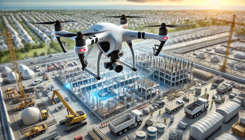
Traditional surveying can take days or even weeks to gather necessary data. In contrast, drones equipped with high-resolution cameras and sensors can capture comprehensive site data in a fraction of the time. For instance, mapping a large construction site that might take weeks manually can be completed in a few hours using drones. This speed accelerates project timelines while allowing for more frequent data collection and keeping project information up-to-date.
Drones also eliminate the need for extensive human labor, reducing reliance on field surveyors. This allows project managers to allocate their workforce more effectively, minimizing delays and maximizing productivity. The ability to quickly repeat flights for updated data ensures that teams always work with the most current information, improving overall workflow efficiency.
Cost savings
Implementing drone mapping services can lead to substantial cost reductions. Drones’ efficiency minimizes labor costs associated with manual surveying. Additionally, the detailed data collected helps identify potential issues early, preventing expensive delays and modifications. The overall reduction in time and resources translates to significant financial savings for large-scale projects.
By reducing the need for traditional surveying equipment, such as total stations and ground-based LiDAR, companies can allocate budgets to other critical aspects of the project. Drones also optimize resource management by precisely calculating material requirements, preventing over-ordering or wastage, and improving financial planning.
Real-time monitoring and decision making
Drone mapping software enables real-time monitoring of project sites. Stakeholders can access up-to-date information, facilitating prompt decision-making. This immediacy helps any emerging issues to be swiftly addressed, keeping the project on track and within budget.
The ability to overlay drone-captured data with design blueprints allows engineers and planners to detect deviations early. This verifies that construction progress aligns with timelines and specifications, reducing costly rework. With cloud-based storage, project teams can collaborate remotely, improving communication and project transparency.
Added benefits of drone mapping software
Enhanced accuracy and precision
Accuracy is vital in large-scale projects. Drone mapping software processes aerial data to create highly precise 3D models and maps. These models provide accurate measurements of distances, areas, and volumes, reducing the likelihood of errors that can lead to costly rework. The ability to generate precise digital representations leads to better planning and execution.
Additionally, drones can collect data from multiple angles, capturing elevation changes and topographical details that traditional methods may miss. Advanced processing algorithms enhance geospatial data accuracy, making identifying inconsistencies, detecting structural flaws, and conducting comparative analyses over time easier.
Improved safety
Surveying large or hazardous areas poses safety risks to personnel. Drones can access challenging terrains and dangerous sites without endangering workers. By deploying drones, projects can minimize human exposure to risky environments, enhancing overall safety protocols.
For example, in industries such as mining, construction, and oil and gas, drones reduce the need for workers to physically inspect unstable structures, high elevations, or contaminated zones. This protects employees and keeps regulatory compliance with occupational safety standards.
Environmental impact assessment
Beyond cost and efficiency, drone mapping services provide environmental benefits. Traditional mapping methods often require heavy machinery and extensive ground disturbance, which can disrupt ecosystems. Drones operate with minimal impact, preserving natural landscapes while delivering accurate data.
Drone mapping also lowers carbon emissions by reducing the need for fuel-heavy vehicles and equipment. This is particularly beneficial for environmentally sensitive projects where conservation and compliance with environmental regulations are a priority.
Versatility across industries
The application of drone mapping services spans various industries:
● Construction: Site surveys, progress tracking, and quality inspections.
● Agriculture: Crop health monitoring, land assessment, and irrigation planning.
● Mining: Stockpile volume calculations, erosion analysis, and safety inspections.
● Energy and utilities: Infrastructure maintenance, power line inspections, and wind farm assessments.
● Urban planning: Land development, zoning analysis, and environmental impact studies.
Conclusion
Drone mapping improves large-scale project processes by providing faster data collection, increased accuracy, cost savings, enhanced safety, and real-time monitoring. Adopting drone mapping software allows industries to streamline operations, improve decision-making, and reduce environmental impact.
As technology advances, drones’ role in construction, mining, agriculture, and infrastructure will continue to grow. Companies that embrace this innovation will position themselves at the forefront of efficient and sustainable project management.


